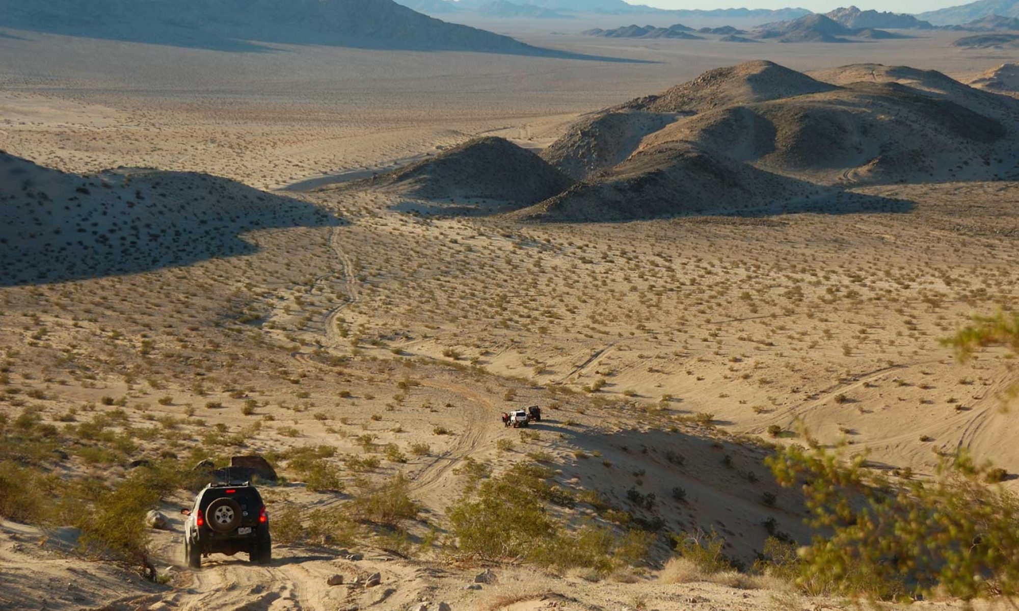
 The 22nd Expeditionary Group headed out to Pinyon Mountain Area for a day of trail riding in Anza-Borrego. The trail heads east starting from Hwy S-2 and empties into Fish Creek from which numerous options for completing the trail are offered. This report focuses on Pinyon Mountain Road up until reaching Fish Creek.
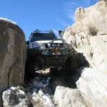
Our map by Wilderness Press identifies two obstacles on the trail, however we encountered several more. The first few miles of the trail offer great scenery and is rather mild. Most 2wd high clearance vehicles should be able to make this run. Up until the first obstacle known as The Squeeze the trail is considered a two way trail. From this point forward every vehicle should have at least 33†tires, 4wd, armor, and a locker and winch is highly recommended. The Squeeze is exactly as the name implies. To get through this obstacle one must squeeze through the rock crevice. Our vehicles included Xterra’s, 4Runner’s, and an FJ Cruiser. Clearance on either side of the vehicle through The Squeeze is measured in millimeters. All vehicles made it through with only the FJ receiving a couple minor scrapes.
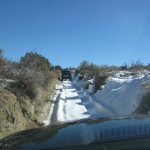
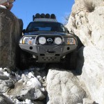 Just down the trail the path turns right and leads to the next obstacle. This obstacle while not on the map posed a little challenge for our vehicles in the icy conditions. In the dry months the average 4×4 should be able to climb these rocks. This is a fun little challenge that leads to a tight canyon that requires enough attention to the boulders lining the road to keep the drivers focus.
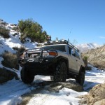
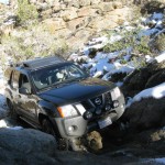 The next couple miles lead the trucks over the ridges and through the valleys of the area offering fantastic views of canyons and mountain peaks. The next obstacle is encountered on the way up to a peak and was the most difficult of the day again due to the icy conditions. It consists of a short but steep climb up a grade which half way though contains a three to four foot rock face on the passenger side of the vehicle that must be overcome. Lockers in these conditions are required, and as a backup a winch is highly recommended.
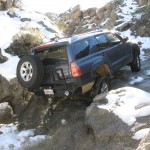 Again, the trail winds through valleys and over peaks up until the final obstacle know as The Dropoff. Just as the name implies this is a highly steep down slope which requires using the vehicles 4LO setting in first gear as well as a downhill assist if the vehicle is so equipped. The top of The Dropoff poses the most difficult section. Immediately the vehicle slides into a deep hole on the drivers side front tire lifting the rear passenger tire several feet off the ground and giving the driver a feeling of falling tail over head with enough imbalance to give those watching outside of the vehicle the same fear. Working the brakes and inching forward the truck gets all four back on the ground and inches itself down the grade through a series of sliding on loose gravel and pumping of the brakes.
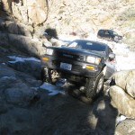 While the maps show this trail as one way between The Squeeze and The Dropoff there are people who have run it backwards. The top of the Dropoff has a spike which presumable serves as a winch point for vehicles to pull themselves up the grade.
Overall, this is a challenging trail especially considering the icy conditions we encountered.
 Summer is almost here, and that means the really hot weather is just around the corner. Even though the hot season is literally an annual event, many people drop their guard and put themselves at great risk.